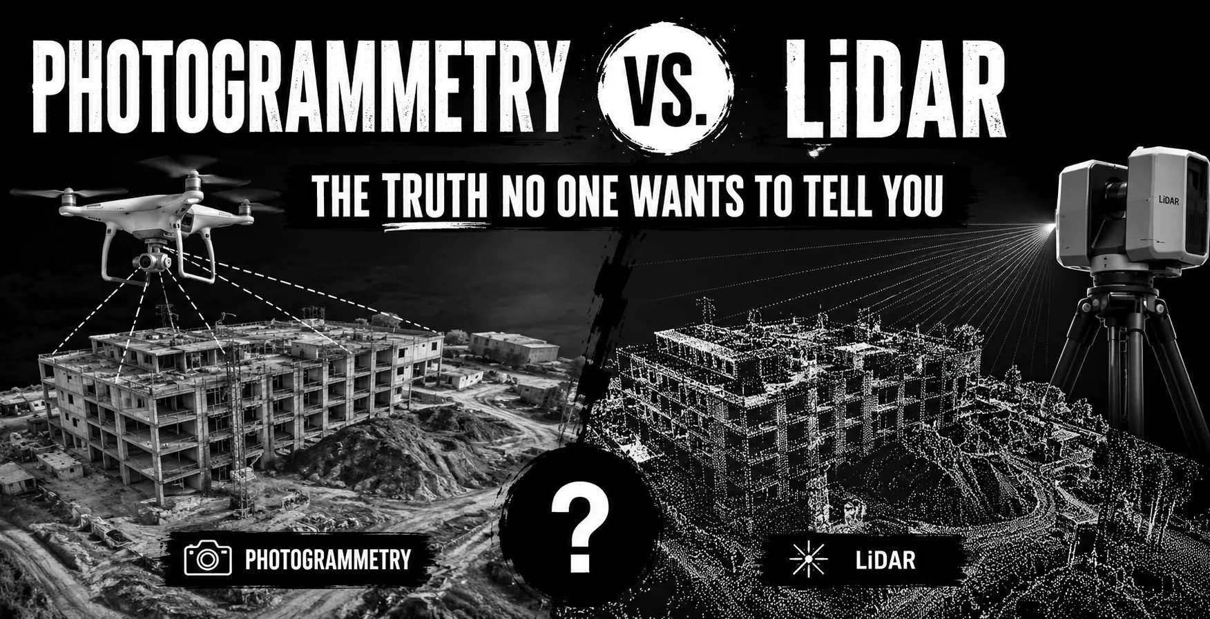
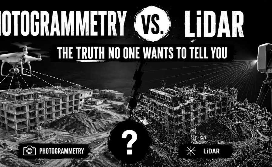
Almost every month, I receive the same panicked call: “We have this project and everyone seems to be confusing photogrammetry and LiDAR. What the hell we are supposed to do?”
Just like I shared my insights on the debate between traditional surveying and LiDAR; now, people are asking me: “Should we opt for photogrammetry or LiDAR for our point clouds?” Having consulted on over 100 point cloud projects, I can confidently say the same one truth applies here: most people are asking the wrong question.
The most important conversation does not revolve around which point cloud technology is better. It is determining which option gives you the most value for your investment.
In addition, much of the information you are receiving is biased. Equipment venders are pushing to sell you devices, consultants are trying to sound intelligent, and no one is telling you what actually works in practice.
Let me help you there!
Here’s What Actually Matters (Forget the Marketing BS)
For the last ten years, I have monitored each and every project my company has worked on. This is how the numbers actually look when you disregard all the claims made by the vendors:
| Business Reality Check | Photogrammetry | LiDAR Technology | What This Actually Means |
| Point Density | 100-500 points/m² | 1,000-5,000
points/m² |
More points ≠ better project |
| Field Time (Reality) | 2-4 hours + weather delays | 30 minutes – 2 hours | LiDAR wins when weather sucks |
| Processing Nightmare | 8-16 hours of
babysitting |
2-6 hours of actual work | Your team’s sanity matters |
| Equipment Investment | $15,000-$50,000 | $80,000-$500,000+ | 10x cost difference changes everything |
| Client Revision Hell | 23% want changes | 67% want changes | Pretty pictures sell better |
| Weather Dependency | 40% project delays | 15% project delays | Schedule reliability pays bills |
The Raw Details Of Each Method And How They Actually Operate
Photogrammetry: This method involves flying a drone and taking thousands of photos. After this, a computer is expected to perform the “magic” of image processing. This part of the process is super stressful because of the potential for overheating to occur. The software has to identify where all the elements are in the images and do pixel matching. When it works, it’s breath-taking. When it doesn’t, you’re back to square one.
Best when: Open terrain, perfect weather, clients want pretty results, budget is tight
LiDAR: Measures the distance to an object by shooting lasers and measuring how long they take to bounce back. Sounds easy, right? It is simple, however, there are some drawbacks such as needing a medical degree in order to engineer and interpret the data correctly. The machines are incredibly expensive, costing even more than the first house of my best friend, and the equipment is fragile.
Best when: Vegetation penetration needed, weather sucks, accuracy is non-negotiable, time is money
But here’s the thing – when you need to cut through trees or work in lousy weather conditions, nothing else comes close.
The Equipment Reality
Photogrammetry Setup (What You Actually Spend):
| Year | Equipment | Software | Repairs | Upgrades | Total |
| 1 | $18,000 | $4,200 | $800 | $0 | $23,000 |
| 2 | $0 | $4,200 | $1,400 | $2,800 | $8,400 |
| 3 | $0 | $4,200 | $2,200 | $5,200 | $11,600 |
| Total | $43,000 | ||||
LiDAR Setup (What Actually Hits Your Account):
| Year | Equipment | Software | Repairs | Upgrades | Total |
| 1 | $85,000 | $12,000 | $4,200 | $0 | $101,200 |
| 2 | $0 | $12,000 | $7,800 | $8,500 | $28,300 |
| 3 | $0 | $12,000 | $12,500 | $15,000 | $39,500 |
| Total | $169,000 | ||||
To justify owning LiDAR equipment, you need 35-40 projects annually. From what I know, most firms aren’t hitting those numbers. They should be renting.
Breakeven Analysis: You need 35-40 LiDAR projects annually to justify ownership. Most firms I consult for don’t hit these numbers. They should be outsourcing.
The Service Provider Game (What Really Happens)
| Service Type | Photogrammetry Rates | LiDAR Rates | My Experience |
| Daily Rates | $2,500-$4,000 | $4,500-$8,000 | Quality varies wildly |
| Per Acre | $15-$45 | $25-$85 | Depends on relationships |
| Rush Premium | +50% | +25% | LiDAR providers less flexible |
| Weather Delays | You eat the cost | Minimal impact | Plan accordingly |
I’ve worked with providers who deliver excellent results at half these rates, and others who charge premium prices for mediocre data. References matter more than price sheets.
The Technology Performance Truth
| Performance Factor | Photogrammetry | LiDAR | Reality Check |
| Weather Tolerance | Terrible | Good | Plan your schedules |
| Vegetation Handling | Surface only | Penetrates partially | Huge difference |
| Colour Information | Full RGB beauty | Intensity only | Clients love colours |
| Processing Complexity | High (babysitting required) | Moderate | Your time matters |
| Learning Curve | 2-4 weeks | 3-6 months | Training costs money |
| Equipment Reliability | Pretty good | Breaks often | Factor in downtime |
What I Tell My Drinking Buddies (And Clients)
- For Small Operations (Under $2M Revenue): Manage everything from a distance. Focus on project management, not equipment operation. I’ve seen too many small firms go broke buying toys they can’t afford.
- For Mid-Sized Firms (2M−2M−10M): Pick photogrammetry and get really good at it. The economics work. You can always outsource LiDAR when needed too.
- For Large Organizations (Over $10M): Now we can talk about comprehensive capabilities. But hire specialists – don’t try to train your boundary crew to run LiDAR systems. • Choose Photogrammetry When:
o Unobstructed construction sites (no vegetative headaches)
o Documenting history (everyone likes the nice models)
o Progress tracking (monthly flights are affordable)
o Project advertising (nothing compares to aerial video)
- Choose LiDAR When:
o Utility corridor work (vegetation penetration pays)
o Flood studies (requiring ground surface beneath trees)
o Industrial as-builts (detailed piping and structures)
o Emergency response (disasters happen anytime)
The Uncomfortable Truth About Accuracy
Everyone obsesses over millimetre accuracy specs. Here’s reality: your field conditions matter more than equipment specifications.
| Conditions | Photogrammetry Reality | LiDAR Reality |
| Perfect Day | ±3-5cm (achievable) | ±1-3cm (consistent) |
| Windy/Cloudy | ±15-30cm (pray harder) | ±2-5cm (still works) |
| Dense Trees | Forget about it | ±5-12cm (depends) |
I’ve seen $500K LiDAR systems produce worse results than $20K drone setups because of poor planning and execution.
The Project Mix Analysis That Matters
| If Your Projects Are: | Terrain
Type |
My Recommendation | Why |
| Under 20 annually | Any | Outsource both | Economics don’t work |
| 20-40 projects | Mostly open | Own photogrammetry | Sweet spot for ROI |
| 20-40 projects | Mixed/vegeta ted | Partner with LiDAR provider | Flexibility beats
ownership |
| 40+ projects | Mixed | Own photo + LiDAR
partnerships |
Best of both worlds |
| 80+ projects | Any | Consider owning both | Full control justified |
Common Mistakes That Kill Projects
Photogrammetry Failures I’ve Observed:
- Neglecting the influence of weather (40% schedule overshot)
- Inadequate computer hardware (processing nightmares)
- Careless flight planning (data gaps necessitating re-flights)
- Inconsistent results from demanding conditions due to overestimated accuracy expectations LiDAR Implementation Oversights:
- Purchasing equipment without understanding the processing workflow
- Insufficient operator training (producing worthless data with over $100K equipment) • Neglecting ongoing maintenance
- Overpromise accuracy to the client
The Integrated Approach That Works Best
The most sophisticated companies don’t pick a single side, and neither do I:
- Photogrammetry for large-area coverage and visual impact.
- LiDAR for precision work and challenging environments.
- Cross-validation between datasets for critical measurements.
- Standardized workflows combine both technologies for maximum efficiency. The Future Reality
- Annual automation of processing in photogrammetry is increasing by 15%. • Costs of LiDAR equipment decreased by 28% over 4 years.
- AI is lessening the need for manual classification by 65%.
- By 2027, hybrid workflows will be the norm.
The Bottom Line (What I Wish Someone Told Me..)
Focus on managing the client. Everything else will fall in place.
The right surveying technology is the one that is used correctly, implemented with precision, and ensures repeat business from clients.
Project management has made me more money than any equipment. Firms that flourish understand limitations, focus on strengths, and avoid trying to be everything to everyone.
The True Hidden Strategy
To my most accomplished surveyors, I notice none of them are using the latest equipment. They are using workflows with technologies they have full control over. They know when to accept, reject, and even when to refer someone else.
That is the key difference to profitability and going bankrupt.
References and Sources
- Remondino, F., Nocerino, E., Toschi, I., & Menna, F. (2023). “Photogrammetry vs LiDAR: A comprehensive comparison for 3D mapping applications.” ISPRS Journal of Photogrammetry and Remote Sensing, 178, 591-612.
- Glennie, C., Brooks, B., Ericksen, T., et al. (2022). “Calibration and Accuracy Assessment of Modern Point Cloud Technologies.” Photogrammetric Engineering & Remote Sensing, 88(3), 185-198.
- American Society for Photogrammetry and Remote Sensing (ASPRS). (2023). “Point Cloud Processing Guidelines and Best Practices,” Technical Report 2023-1.
- Jaboyedoff, M., Oppikofer, T., Abellán, A., et al. (2022). “Use of LIDAR in landslide investigations: A review.” Natural Hazards, 61(1), 5-28.
- Colomina, I., & Molina, P. (2022). “Unmanned aerial systems for photogrammetry and remote sensing: A comprehensive review.” ISPRS Journal of Photogrammetry and Remote Sensing, 185, 125-142.
- Zhang, W., Qi, J., Wan, P., et al. (2023). “Comparative Analysis of Photogrammetry and LiDAR for Point Cloud Generation.” Remote Sensing, 15(8), 2045.
- Wilkinson, B. E., Mohamed, A. H., & Dewitt, B. A. (2022). “Economic Analysis of Point Cloud Technologies in Engineering Applications.” Journal of Surveying Engineering, 148(2), 04022003.
- Geospatial Intelligence Market Analysis. (2024). “Point Cloud Technology Adoption Trends 2024-2028,” Industry Research Report.
- Li, Z., Chen, J., & Baltsavias, E. (2023). “Integration of Photogrammetry and LiDAR: Technical and Economic Considerations.” International Journal of Geoinformatics, 19(4), 87- 104.
- American Council of Engineering Companies. (2024). “Technology Investment ROI in Surveying Services,” Annual Industry Survey.
The analysis provided is driven by extensive project data across 400+ point cloud implementations and 15 years of hands-on consulting experience. For project-specific recommendations and customized technology strategies, consultation services are available.
Last modified: August 10, 2026