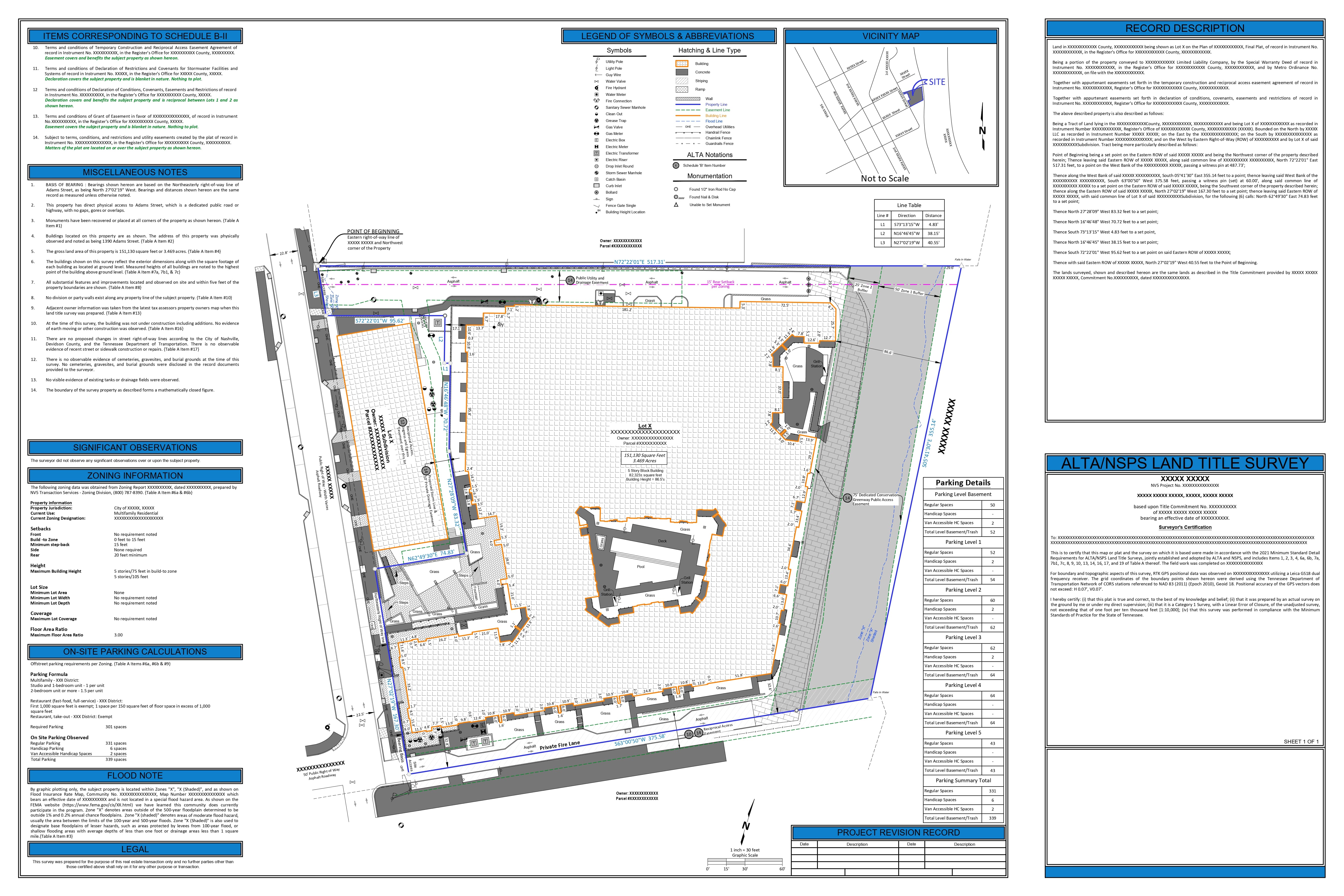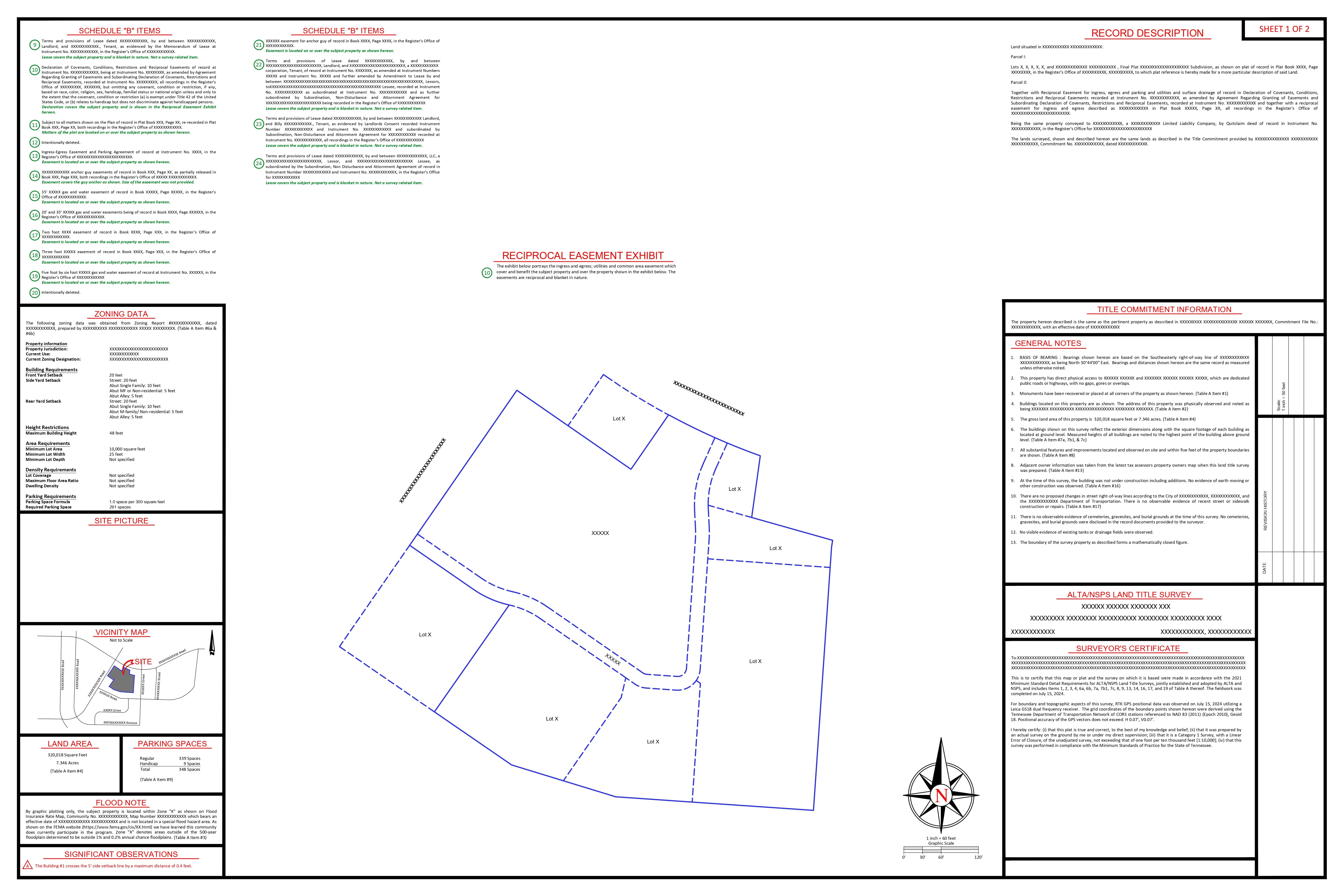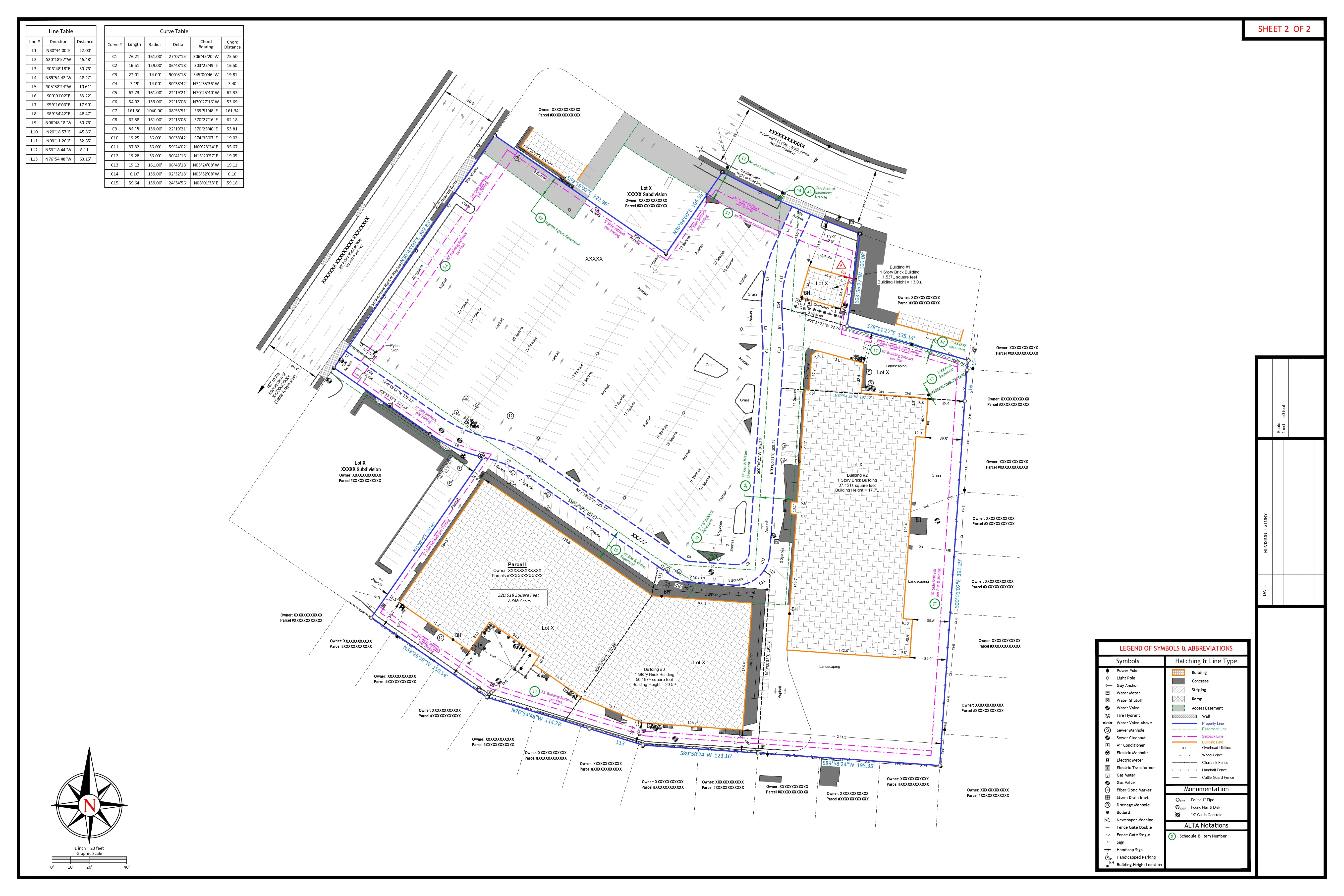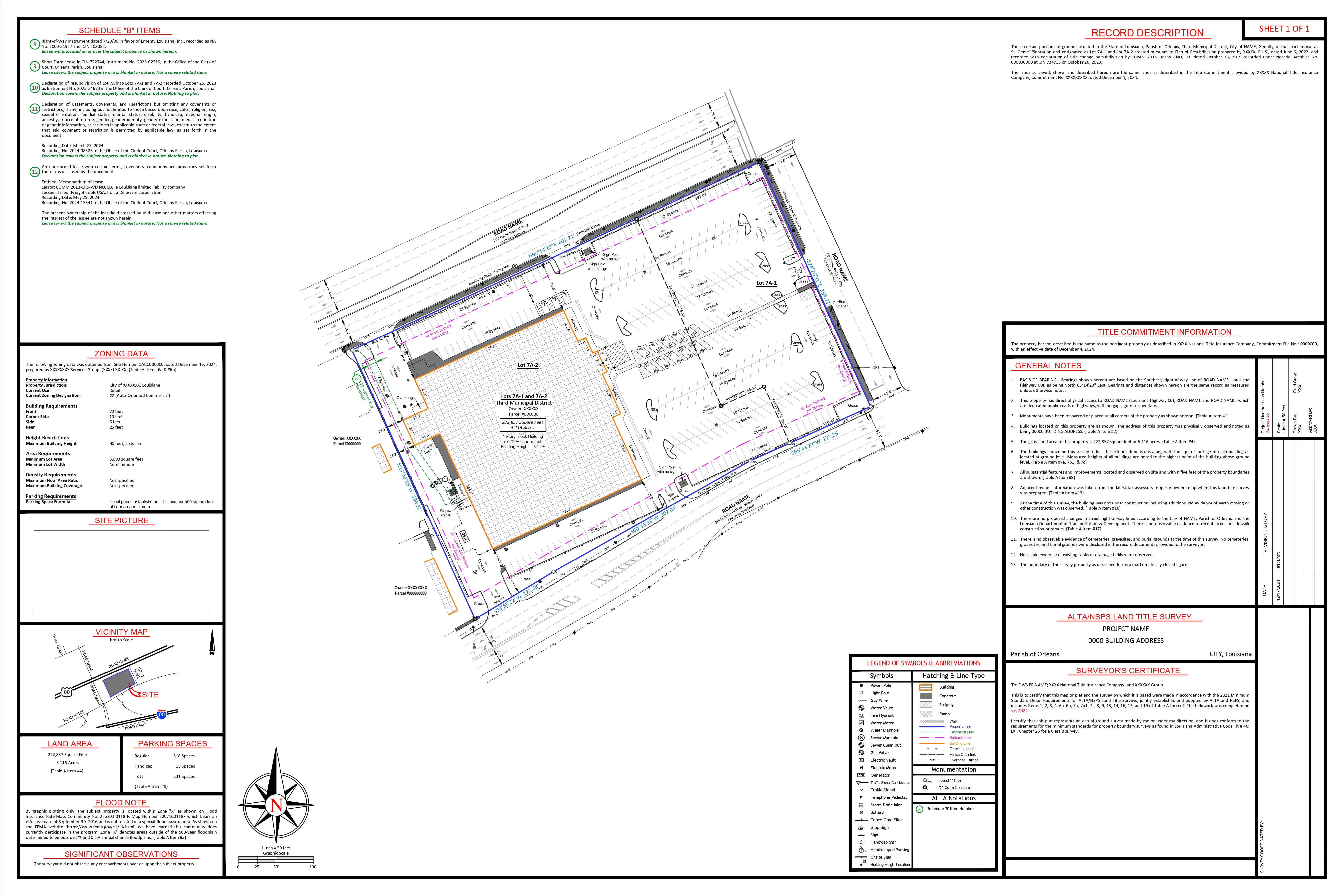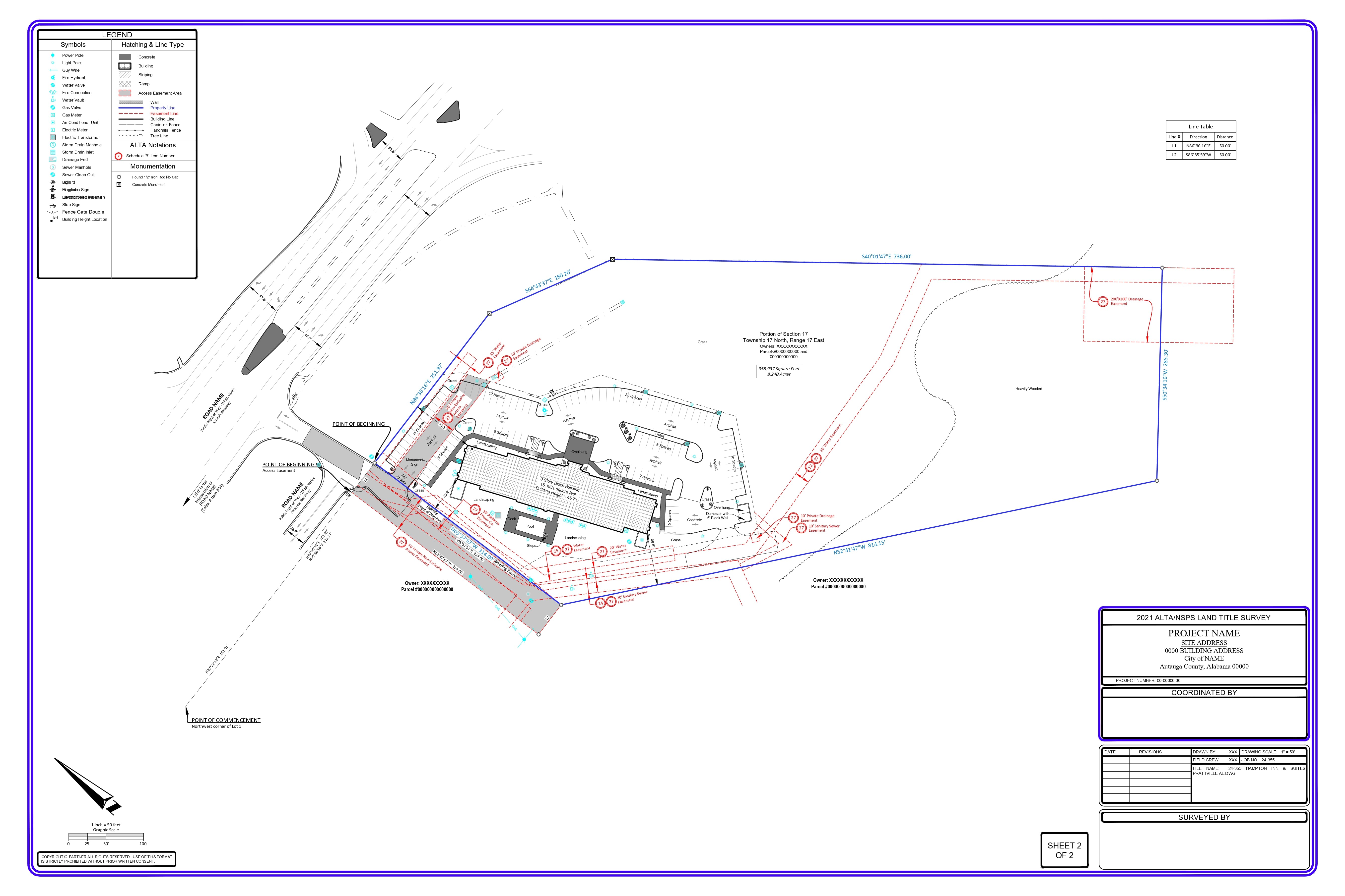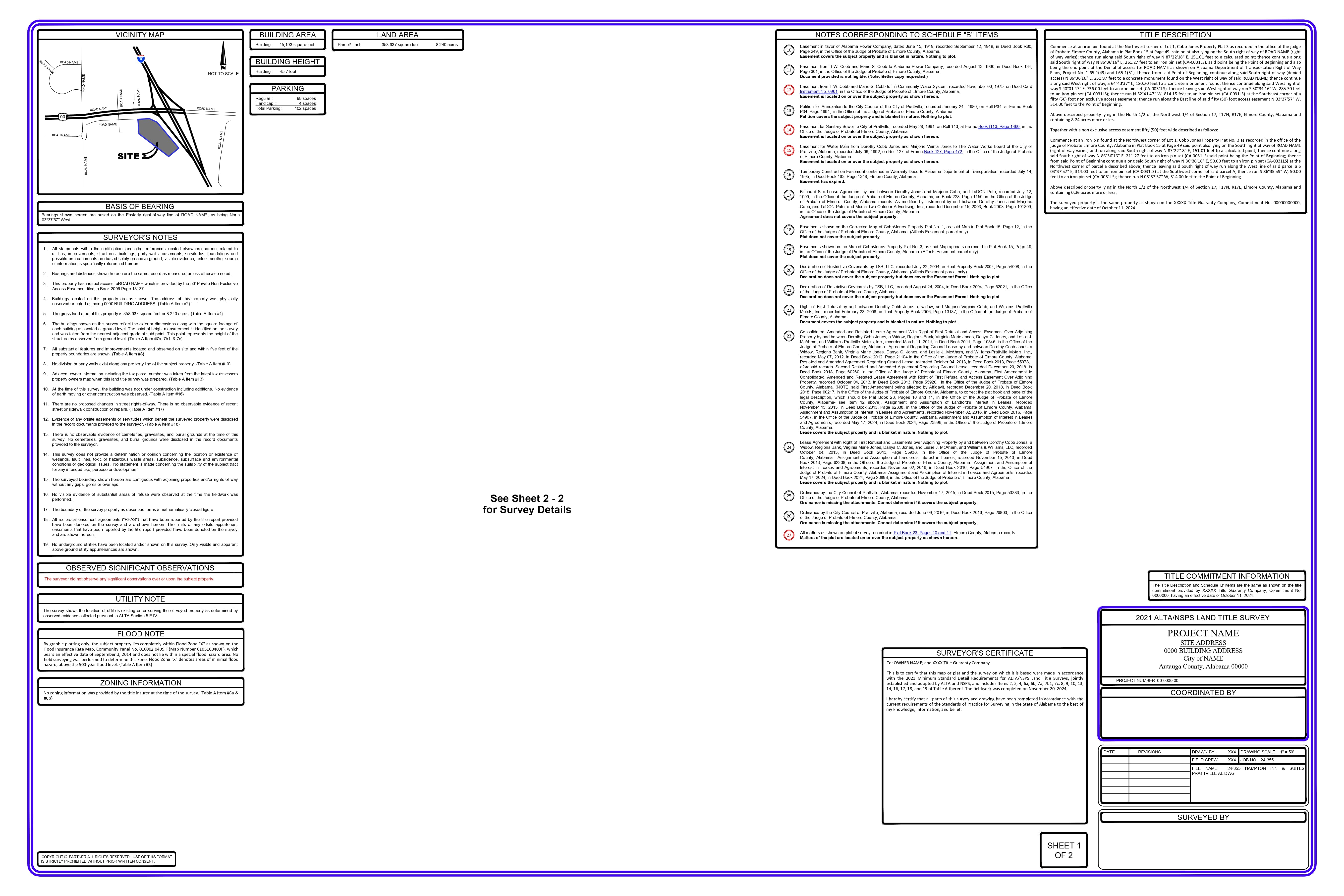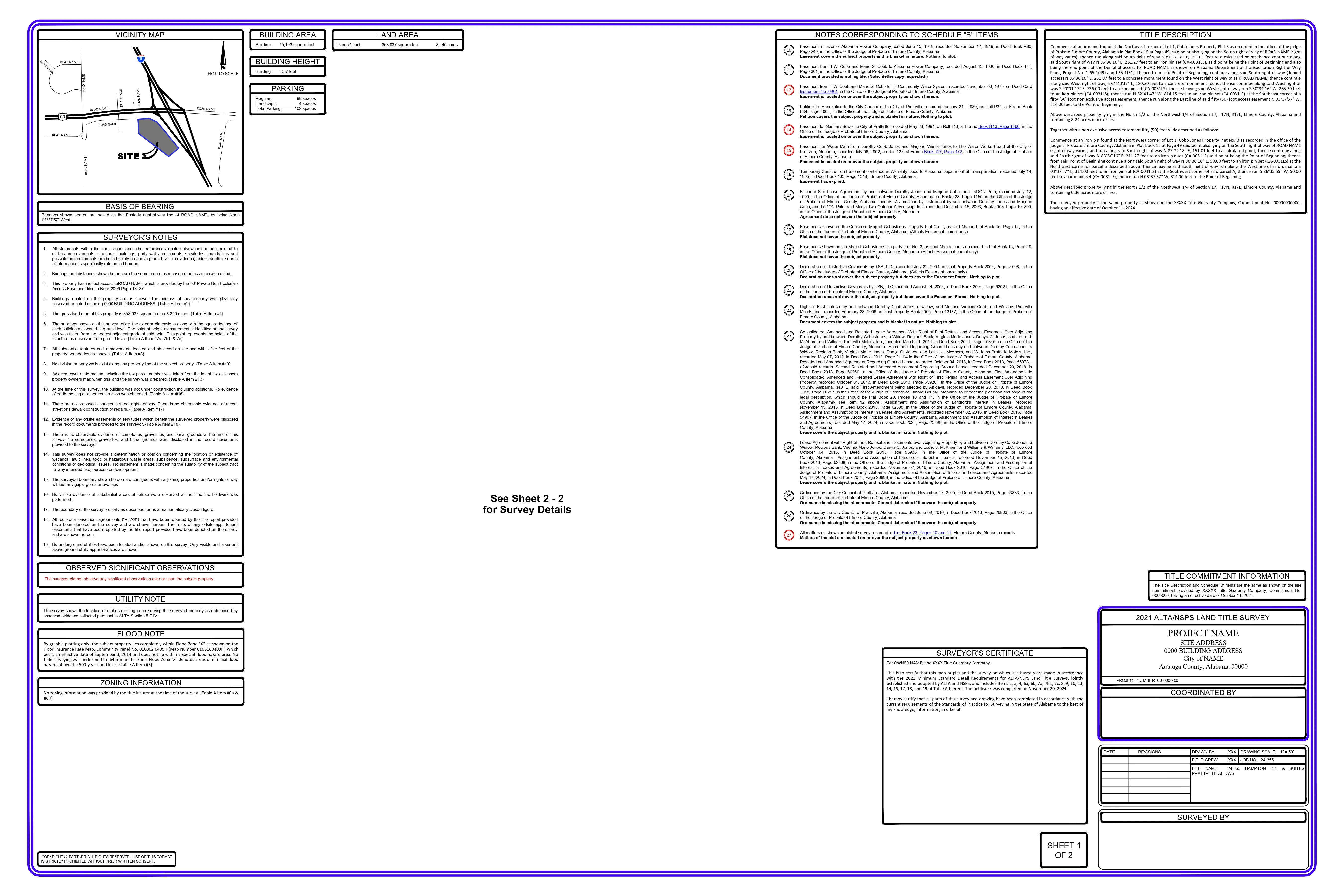

The Question That Bothers The Project Managers  How on earth can we be sure this survey is right? After combing through thousands of troubled-project files, I know one hard fact: seventy-three cents of every dollar lost to delay starts with a survey that...

Read More →

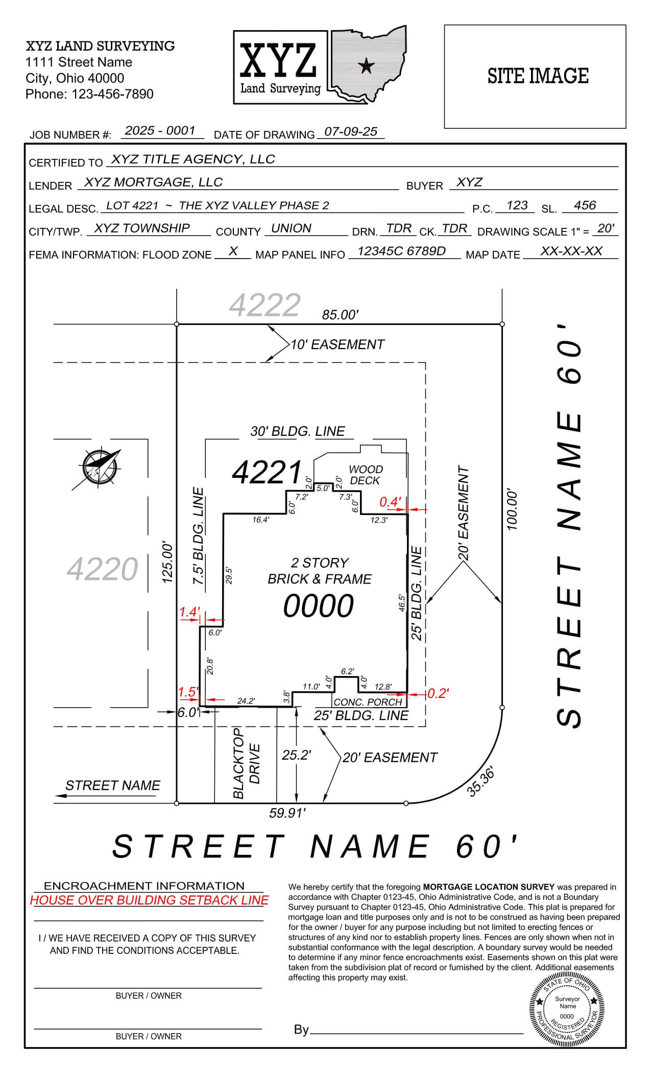
Your surveying firm faces crippling ongoing expenses due to persistent inaccuracy  issues.  Do your dra8ers waste hours fixing mistakes that should have been prevented from the beginning?  You’re not alone.  The surveying industry faces extremely...
Read More →

The Revolution Beneath Our Feet: The Reason Industries Are Moving to Point Clouds  Picture yourself on a construction site: a small drone buzzes above you, capturing millions of data  points in minutes that used to take surveyors days or weeks to document...

Read More →

Over the past decades in the geospatial scheme, we have seen LiDAR transform from a specialized use case to a critical utility in various industries. Many transformative trends are coming that will change the way we capture, process and use 3D data....

Read More →

After investing almost 20 years of my career in the development of geospatial technologies  and executing LiDAR solutions for a wide range of applications, I’ve seen the many  misunderstandings surrounding this ground-breaking technology. And, for some ...

Read More →

The Problem Every Project Manager Must Solve When managing infrastructure projects, this question likely arises often: “Should we use traditional surveying techniques, or do we invest in LiDAR technology?” Considering the amount of major project...

Read More →

Almost every month, I receive the same panicked call: “We have this project and everyone seems to  be confusing photogrammetry and LiDAR. What the hell we are supposed to do?”   Just like I shared my insights on the debate between traditional surveying...

Read More →

Photogrammetry vs. LiDAR: The Truth No One Wants to Tell You Just like I shared my insights on the debate between traditional surveying and LiDAR; now, people are asking me: “Should we opt for photogrammetry or LiDAR for our point clouds?” Having...

Read More →

The Problem Every Project Manager Must Solve When managing infrastructure projects, this question likely arises often: “Should we use traditional surveying techniques, or do we invest in LiDAR technology?” Considering the amount of major project...

Read More →

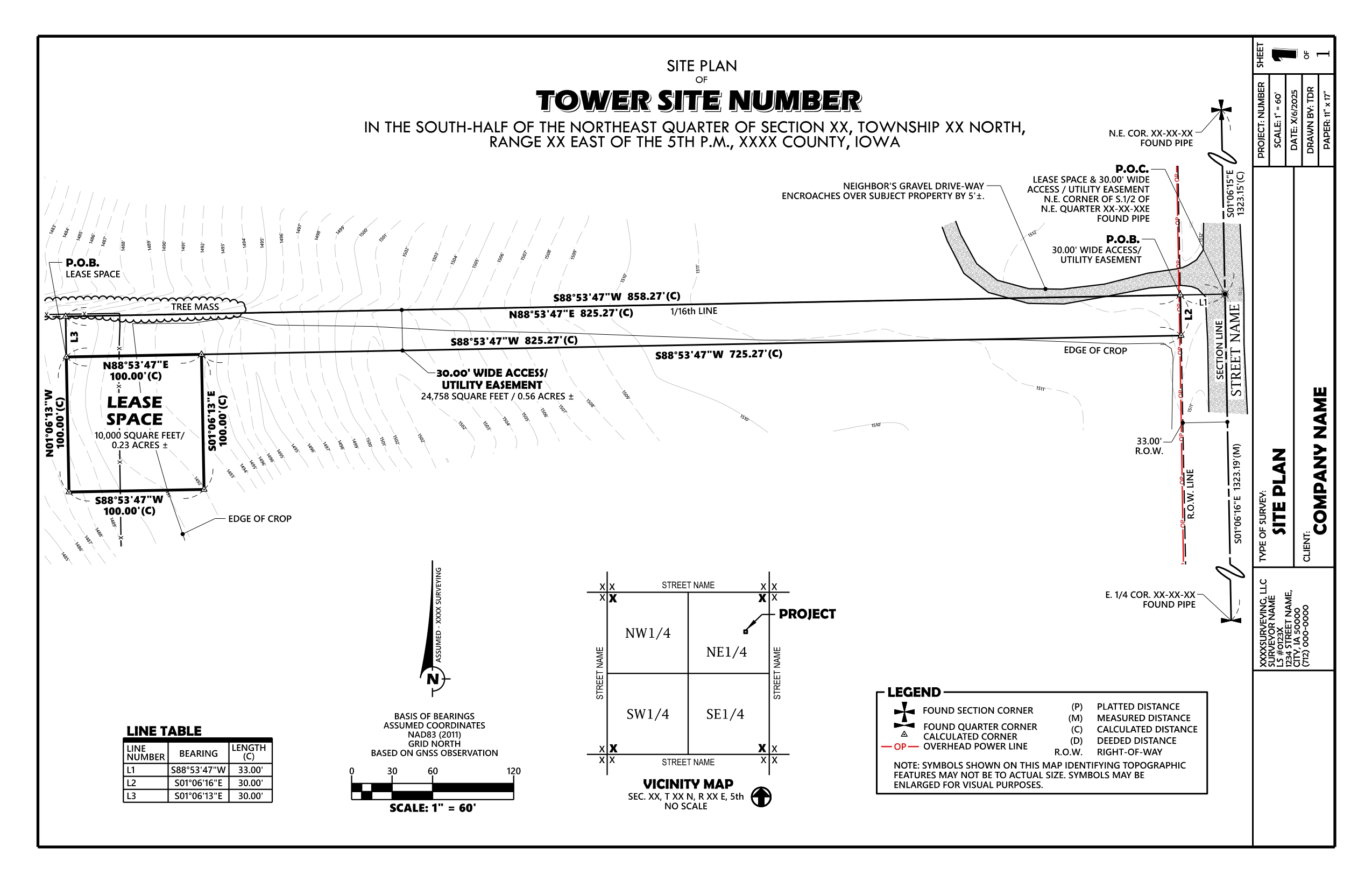
Introduction: Accuracy and precision are the most important things in the area of land surveying. A thorough knowledge of the American Public Land Survey System (PLSS) is a key part of making sure that land surveying is done correctly. This system, which goes...

Read More →

Close Search Window