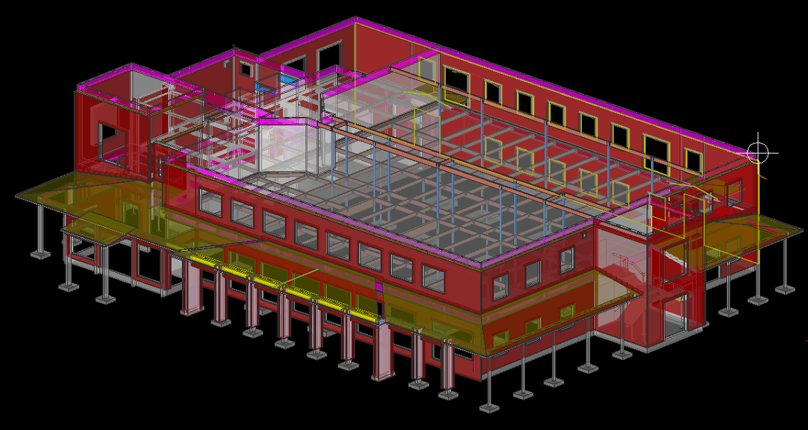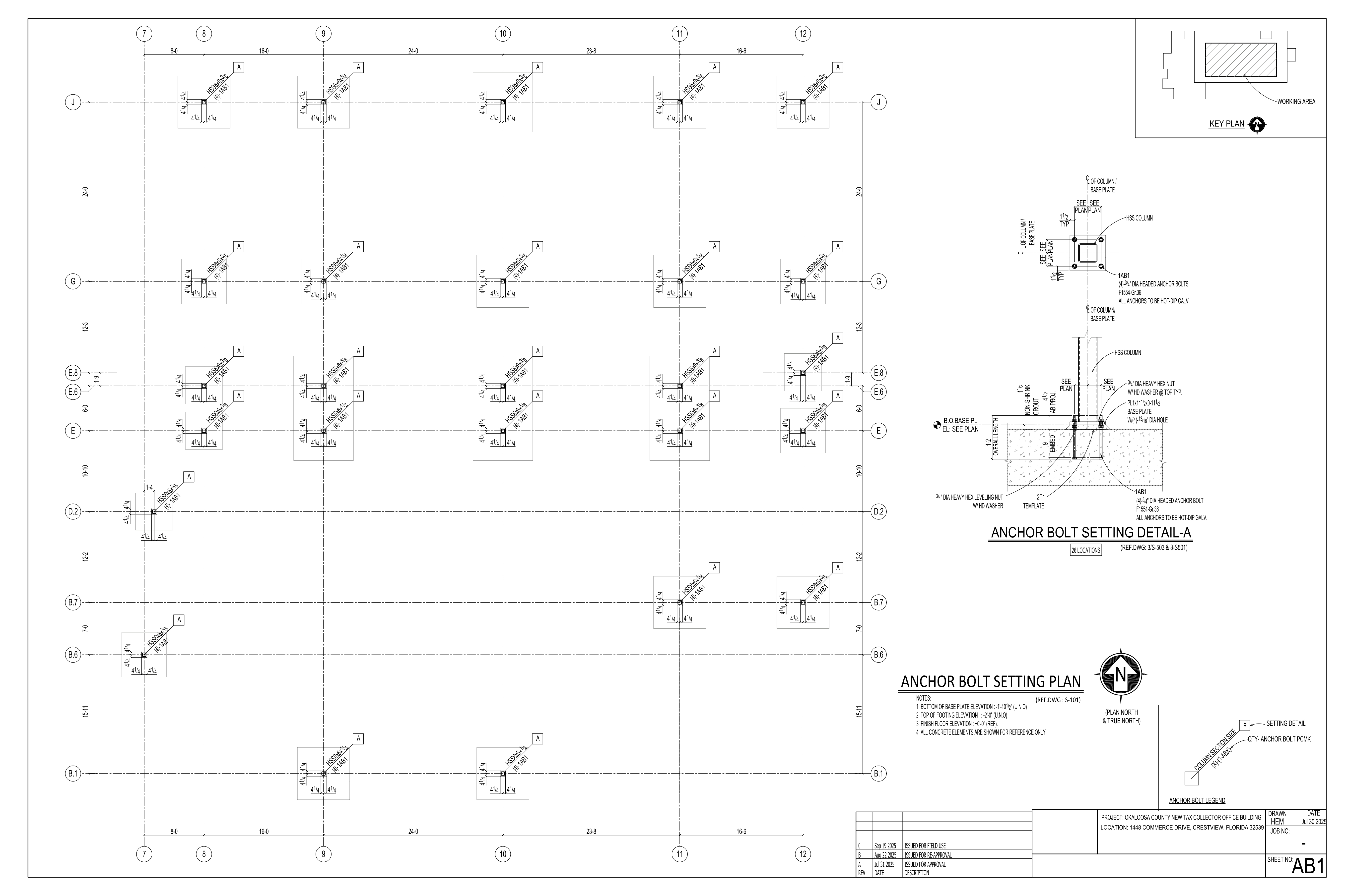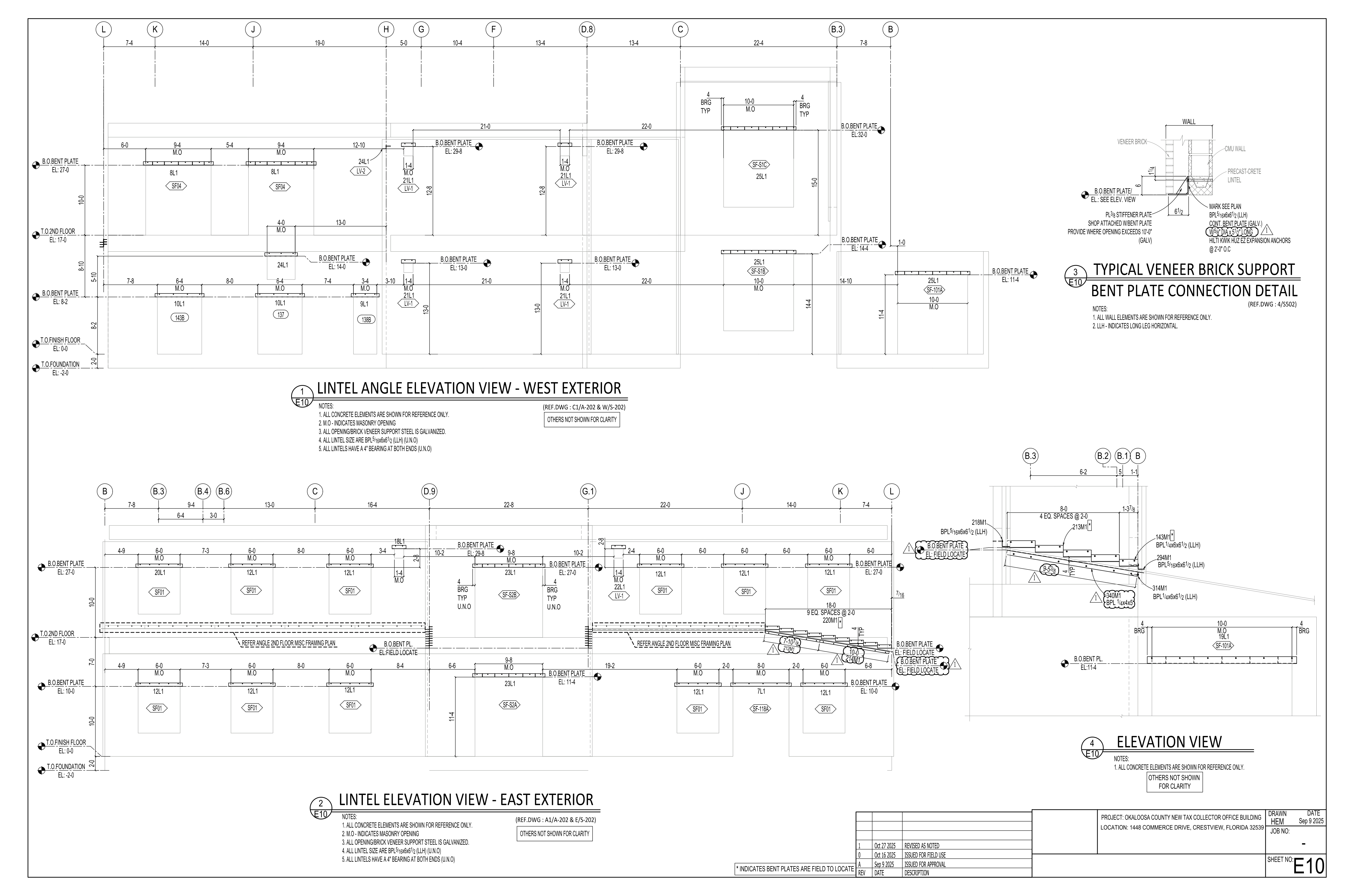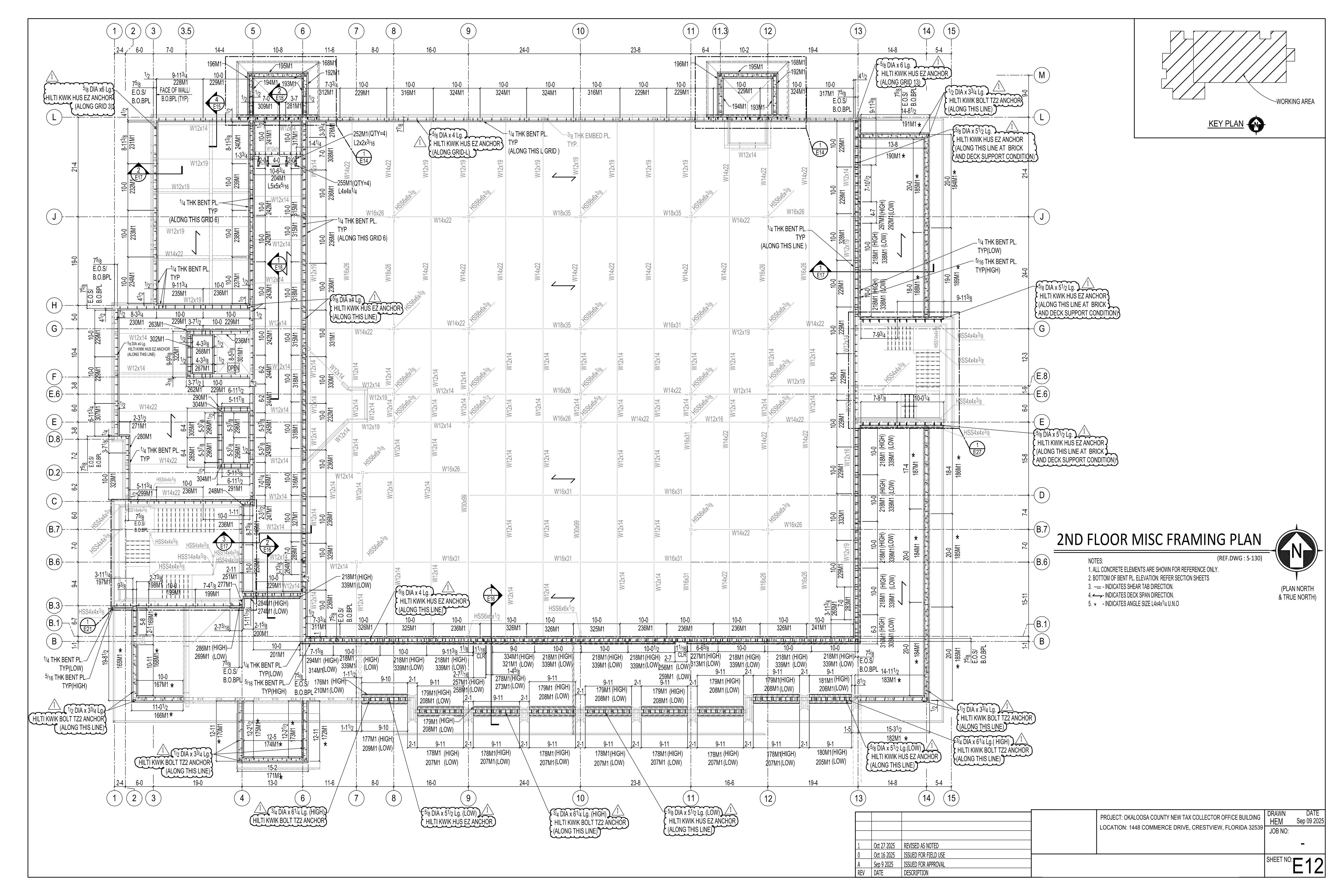


The Revolution Beneath Our Feet: The Reason Industries Are Moving to Point Clouds
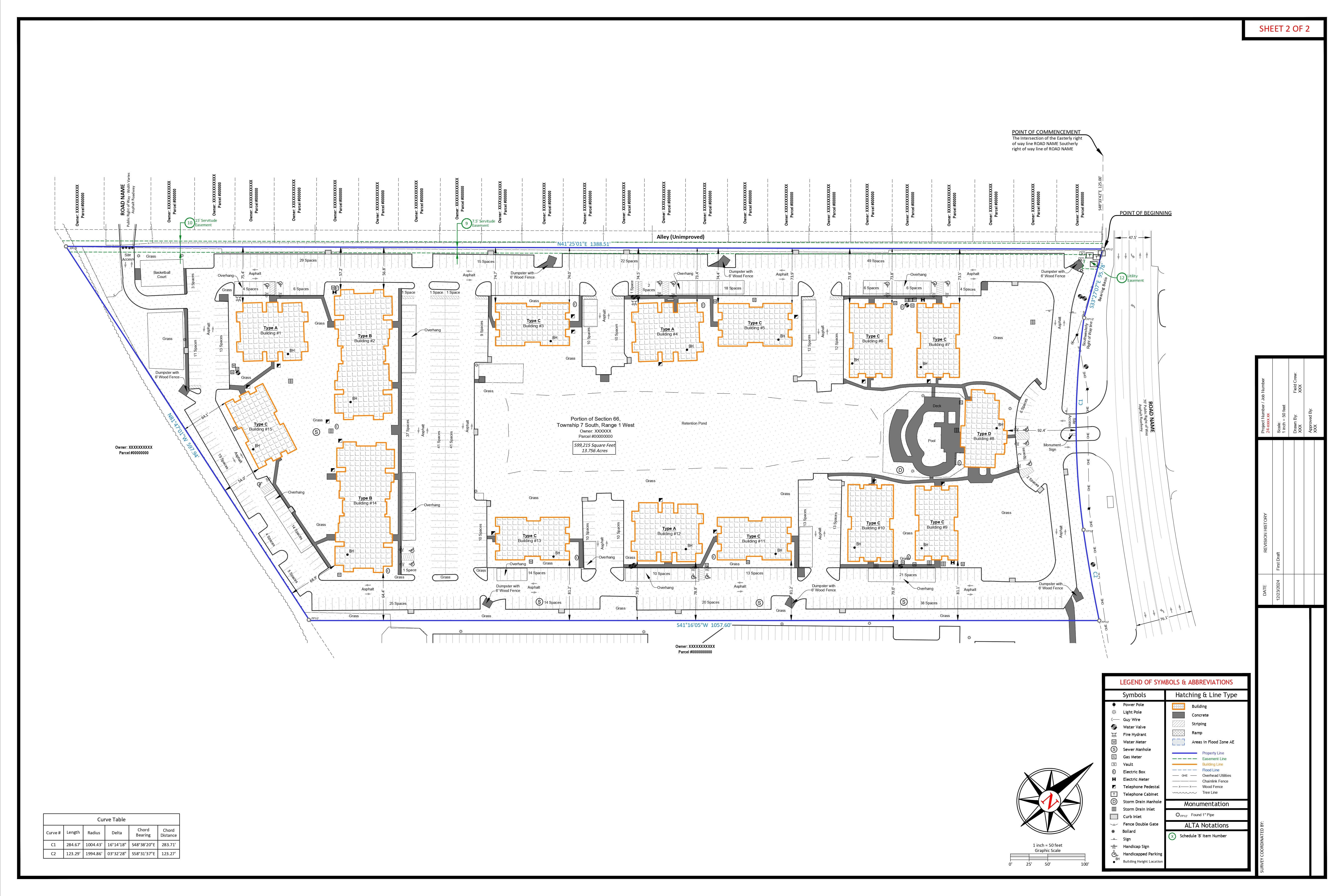
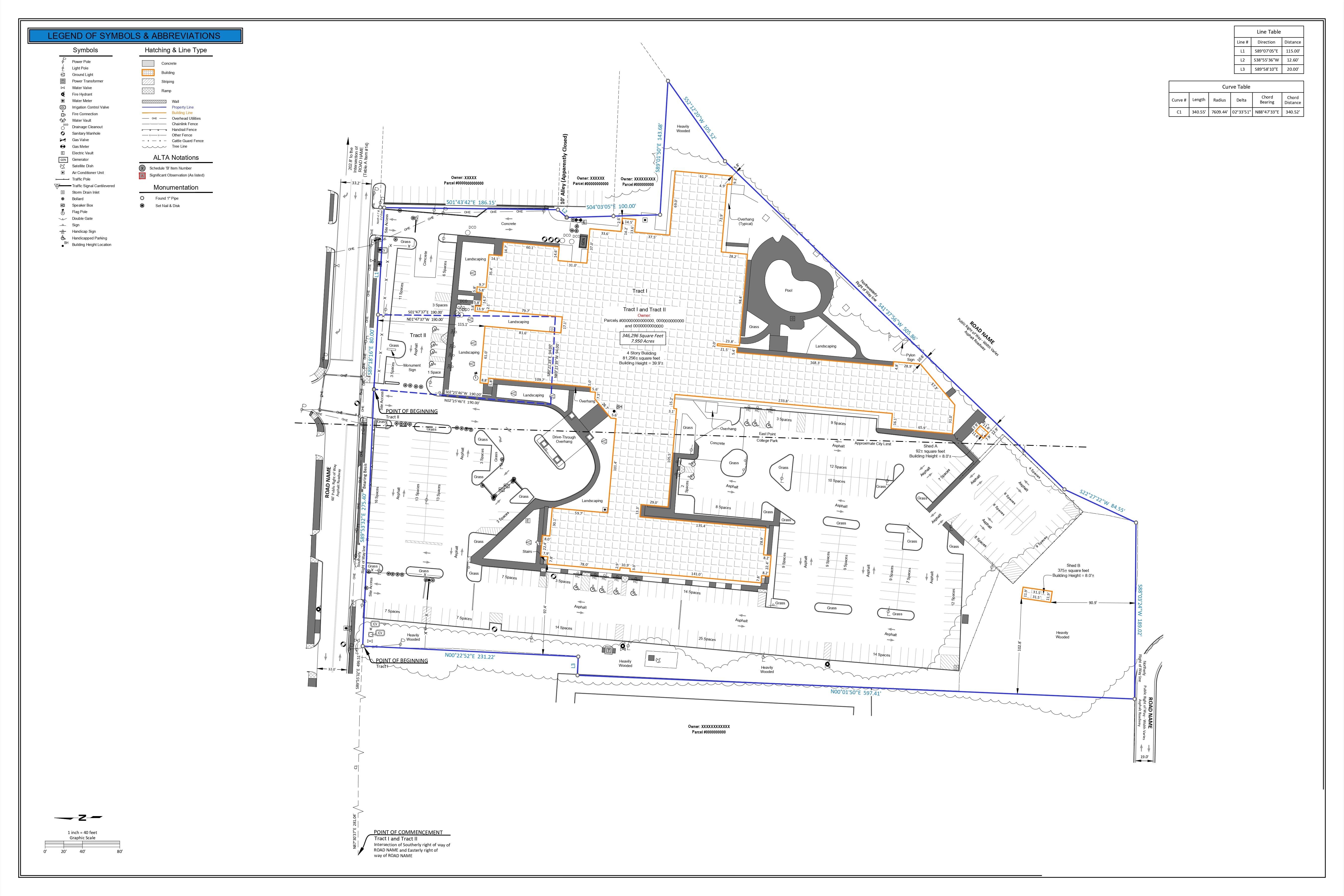
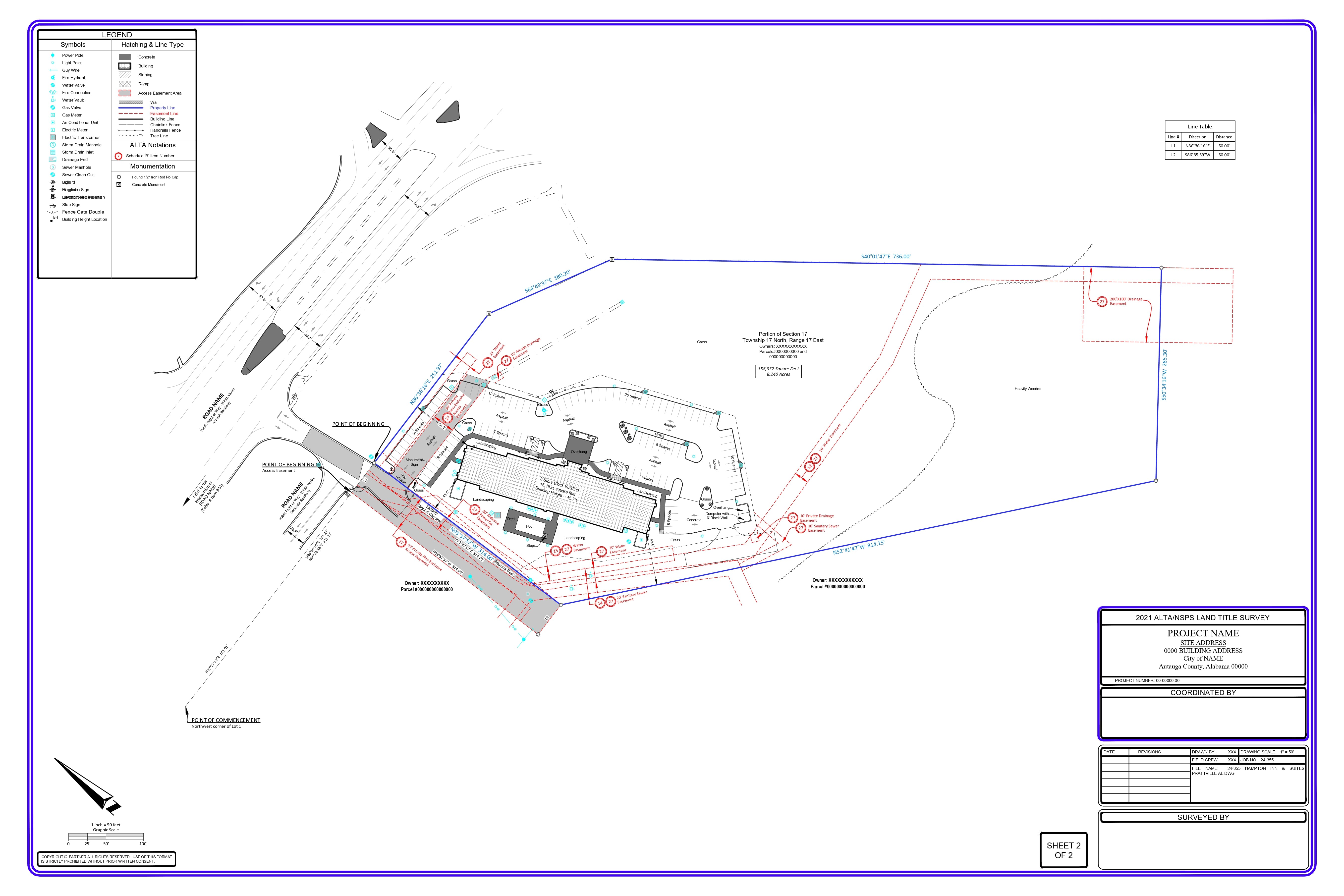
Picture yourself on a construction site: a small drone buzzes above you, capturing millions of data points in minutes that used to take surveyors days or weeks to document just 10 years ago. This isn’t a science fiction plot; it’s the brave new world of land surveying and engineering drafting powered by point cloud technology.
The engineering and construction industry loses an estimated $1.8 trillion each year due to inefficiencies and mistakes in planning and execution. Meanwhile, point cloud technology is rapidly shifting this formula, with the worldwide LiDAR industry estimated to grow at a compound annual development rate of 22.7%, reaching $4.5 billion through 2026.
But what is facilitating this transition, and why does it matter for professionals in surveying, engineering and construction?
What You Will Learn in This Article:
- Revolutionizing Traditional Land Surveying Techniques with Point Cloud Technology • These are real-world applications saving companies millions in time and resources • Our perspective on whether there is a choice to not adopt point cloud technology
But let’s take a look at how this revolutionary technology is transforming our industry at its very foundation.
Attention: The Data Revolution Transforming How We Map Our World
Gaping holes opened on streets where new utility lines were never supposed to go, such as a 800-mile, multiyear highway expansion project in Colorado in 2018 that led people to believe the project would be delayed or cost overruns would balloon. When surveyors used point cloud technology, they found essential infrastructure that had been overlooked — which could save millions in rework costs and prevent dangerous hits to utilities.
This is but one illustration of the application of point cloud technology to land surveying and engineering drafting—delivering levels of accuracy, efficiency, and insight into both the natural and built environments never before possible.
A 2023 report by the American Society of Civil Engineers found that organizations using advanced scanning technologies such as point clouds had the following reported results:
- 65% Less field time on complex sites
- 57% decrease in rework costs
- 43% reduced project delivery timelines
- 38% more designs get first-time approved
“Point cloud technology is not just a step forward from traditional approaches — it revolutionizes how we interpret and engage with spatial data,” says Dr. Jennifer Whyte, Director at the Centre for Systems Engineering and Innovation at Imperial College London.
For land surveyors, civil engineers, and construction managers, the question is not if you should use this technology but how far you can get in adopting it into your workflows before your competitors get the jump on you.
What Point Cloud Revolution Teaches Us
What Is Point Cloud Technology, Exactly?
Essentially a point cloud is a set of points that exists in 3D space. Each point has exact X, Y and Z coordinates that, when added with millions of other points, form an incredibly detailed digital simulation of physical space.
Generating modern point clouds is commonly done through:
- LiDAR (Light Detection and Ranging)
- Photogrammetry
- Terrestrial laser scanning
- Mobile mapping systems
- UAV/drone-based scanning
The density of these point clouds can be overwhelming. A typical scan at a medium-sized construction site may yield over 100 million individual points, all accurate to within millimeters of their true position in life.
“The detail that modern scanning technology achieves is mind-blowing,” said Hexagon Geosystems President Thomas Harring. “With conventional surveying techniques, for example, this wasn’t possible at all, we can now measure changes of just 2mm across such great areas.
Advantages of using Point Cloud Technology over Traditional Surveying
Traditionally, land surveying used to have techniques that stayed relevant for hundreds of years. And yes, the equipment has improved — chains and transits gave way to total stations and GPS — but the fundamental method of measuring discrete points and interpolating between them has remained static.
This method has a number of built-in weaknesses:
- Low data density (thousands or hundreds of data points in vs millions)
- Field operations which require a lot of time
- Large scope for human error
- Struggles to hold multidimensional shapes or organic forms
- Hardship in visually communicating findings to non-technical stakeholders
Point cloud technology overcomes these limitations because it captures reality, not just points in a sample.
Organizations that have made the transition from traditional methods to point cloud-based workflows capture more than 50 times more data points per scan and spend 60–70% less time in the field, according to a 2023 survey by Leica Geosystems.
Middleware Software Ecosystem: Bridging Data Capture and Application
While point cloud technology has been disruptive in land surveying and engineering, the right middleware integration strategy is often the missing ingredient in transitioning the technology to widespread use. Middleware acts as the vital link between raw point cloud data and any applicable use cases within organizations, connecting independent systems and rationalizing processes.
The Key to Adoption — Middleware Integration
- Removes Format Fragmentation — Articulates a single data language that eliminates the 15- 20% productivity gap from converting formats and works without glitch on every point cloud platform
- Democratizes Access — Reduces the technical barrier to entry by 70-80% so that a non specialist can use point cloud insights without requiring trained specialists
- Accelerates ROI — Reduces the Investment Recovery Period from 11-16 months to just 5-7 months by Providing Immediate Operational Efficiencies
- Allows for Real-Time Collaboration — Converts isolated point cloud data into shared organizational assets, boosting cross-functional productivity by 42% through simultaneous multi-user access
- Automated Quality Checks — Has a consistent validation process that reduces the manual verification effort required by 76%, and leads to a dramatic drop in human error rates
Leading Software Platforms and Vendor Landscape
Several specialized software platforms dominate the market:
Comprehensive Point Cloud Processing Suites:
| Software | Market Share | Pricing | Source |
| Leica Cyclone
(Hexagon) |
37% in professional
surveying |
$12,000-$25,000 per seat | Hexagon Geosystems Market Report, 2023 |
| Trimble RealWorks | 31% in infrastructure
market |
$10,000-$18,000 for perpetual licenses | AEC Magazine Software Survey, 2023 |
| FARO SCENE | 28% in
architecture/heritage |
Base licenses start at $9,500 | FARO Technologies Annual Report, 2023 |
| Bentley
ContextCapture |
22% in civil infrastructure | $7,500-$15,000 annual
subscription |
Bentley Systems Market Analysis, 2024 |
BIM Integration Platforms
| Software | Market Share | Pricing | Source |
| Autodesk ReCap Pro | 43% market penetration | $535 annually or within industry collections at $3,200+ | Autodesk Investor Relations, 2023 |
| CloudCompare | 15% adoption among
smaller firms |
Free for basic use | Open Source Initiative Usage Report, 2023 |
| PointFuse | 7% market share | $3,600-$7,200 annually subscription | PointFuse Market Position Statement, 2023 |
Software Integration Challenges
The middleware ecosystem faces significant fragmentation:
- Data conversion between platforms results in 15-20% productivity loss
- Format compatibility issues affect 64% of organizations using multiple tools
Leading organizations address these through standardized data pipelines and middleware connector tools like Pointfuse Bolt ($1,800/year) and Cintoo Cloud ($4,200-$9,600/year).
Emerging Cloud-Based Solutions
| Software | Primary Function | Pricing | Source |
| Autodesk
Tandem |
Digital twin platform | $8,500 annually per project | Autodesk Pricing Guide, 2024 |
| Cintoo Cloud | Reality capture
management |
$350-$800 monthly based on data volume | Cintoo Cloud Subscription Details, 2023 |
| Undet | Point cloud-to-CAD
solution |
Starting at $1,900 annually | Undet Product Catalog, 2023 |
| NavVis IVION | Enterprise point cloud management | Starting at $15,000 annually for
organizational deployment |
NavVis Enterprise Solutions, 2024 |
Cloud-Based Collaboration Advantages
| Benefit | Improvement | Source |
| Workflow efficiency | 42% improvement compared to file-based methods | AEC Technology Adoption Survey, 2023 |
| Coordination delays | 67% reduction through universal data accessibility | Dodge Data & Analytics, 2023 |
| Quality control
requirements |
76% reduction in manual checking needs | McKinsey Construction Technology Report, 2023 |
| ROI achievement | 7.3 months faster than with disconnected desktop software | AEC Technology Adoption Survey, 2023 |
Real-World Applications Changing Industries
Construction: Making With Digital Precision
The construction industry has seen the lowest visibility:
- Preconstruction validation finds an average of 37 major design conflicts for every $10 million of project value
- 31-42% higher in MEP system install in efficiency
- 12–17% schedule acceleration on renovation projects
Direct cost savings of $4.7 million were attributed to a point cloud-enabled coordination process on a major hospital expansion in 2022; in fact, construction was finished 47 days earlier than planned.
Managing Critical Systems
Transportation and utility projects are aided through:
- 75% reduction in bridge inspection time and 1,400% increase in measurement density • This increased the accuracy of underground utility mapping by 82%.
- 6x faster documentation for railway corridors
According to ASCE, infrastructure projects using full point cloud surveys had 43% fewer unexpected field conditions and were completed within budget 57% of the time.
Historic Preservation: Recording Heritage with Unparalleled Detail
- Point cloud technology provides preservation capabilities previously unimaginable: • Auspicious architectural features copied without touching them
- Precise monitoring of deformation over time to ± 1-2mm
The Technical Development: The Point Cloud Technology Roadmap Integration of Machine Learning & Artificial Intelligence
The next frontier is AI-driven analysis:
- Increasing classification accuracy from 78% in 2019 to 97% in 2024
- 86% reduction in time through feature extraction algorithms
- 95% accuracy with semantic segmentation automatically labeling elements The Fourth Dimension: Temporal Analysis
Treating time as a fourth dimension allows for:
- 99.8% Complete Construction Progress Record
- Structural monitoring: detects movements of 0.8mm between scans
- Environmental change prediction capabilities
Mobile & Wearable Scanning: Equitable Access
New possibilities are emerging through miniaturization:
- Handheld scanning attaining 1.5mm accuracies up to 15m
- Photogrammetry on smartphones producing usable point clouds for non-critical solutions • Distributors entry costs down 87% vs 2018
Implementation Complications and Their Countermeasures 1. Data Management: Cybernetics in the Age of the Cybernetic System
Volume of point cloud data is challenging: Regular scans of buildings produce 5-20 GB of raw data. Terabytes of data are constantly generated by infrastructure projects
Cloud Solutions address these challenges by:
- 97% reduction in local storage requirements
- 83% decrease in processing times through distributed computing
- Capacity Building through Skill Development
The technical skills gaps remain wide:
- Currently, 78% of surveying firms find it hard to source qualified technicians • 80-120 hours of training on average to achieve proficiency
- Just 37% of the educational institutions offer a complete course on point clouds
Metrics That Matter: Cost-Benefit Analysis
Against initial investments of $25,000-$250,000 for equipment and $5,000-15,000 per user annually for software, organizations report:
- 12-18% average project cost savings across all phases of implementation • Value of risk mitigation equal to 7-9% of total project cost
- Savings on average projects of 4-7% from rework reduction
According to McKinsey’s 2023 Construction Technology Report, firms using point cloud technology to the fullest saw total project delivery cost improvements over industry averages of 14.3 percent, with return-on-investment timeframes averaging 11-16 months.
Competitive Differentiation in a Digital Marketplace
Point cloud capabilities increasingly influence market position:
- 76% of major infrastructure RFPs specifically request point cloud deliverables • Firms offering comprehensive scanning services report 37% higher proposal success rates • Premium billing rates 15-25% higher than traditional surveying services
Our Perspective: Accepting the Inevitable
Having watched the way this technology has developed across the last decade it can believed that we are at the inflexion point where point cloud technology has switched from being a luxury to a necessity. Organizations that wait are not just delaying innovation — they are choosing to compete from behind.
The availability of cheaper, easier-to-use systems has democratized access, lifting the main obstacle that prevented adoption by all but the largest companies. With entry-level systems available today for an investment below $30,000 and subscription models available to reduce initial capital outlay, the question is no longer, “Can we justify the acquisition of point cloud equipment?” Instead, it should be “Can we afford not to?”
In our opinion, the most prosperous firms of the next decade will recognize point cloud technology not as a niche service but rather a component of their chief workflow—it will be just as typical of modern practice as computer-aided drafting was to the generation before.
Conclusion: It’s a Three-Dimensional Future
Point cloud technology is a truly disruptive technology that is changing the way we capture, document, and engage with the built and natural environment. The competitive edge will become sharper still as implementation costs continue to drop ~12–15% per annum, matched by capabilities
expanding and becoming cheaper to deploy, clustering industry leaders on one side and those left behind on the other.
The 3D digital revolution in surveying and engineering has progressed well beyond early adoption to mainstream implementation—and for the best positioned professionals the pathway forward could not be clearer.
References:
- American Society of Civil Engineers (ASCE). (2023). Advanced Scanning Technologies in Civil Engineering Report.
- AEC Magazine Software Survey. (2023). Point Cloud Software Market Analysis. 3. AEC Technology Adoption Survey. (2023). Digital Transformation in Architecture, Engineering and Construction.
- Autodesk Investor Relations. (2023). Annual Report and Market Analysis. 5. Autodesk Pricing Guide. (2024). Enterprise Solutions Catalog.
- Bentley Systems Market Analysis. (2024). Infrastructure Digital Twins Market Report. 7. Cintoo Cloud Subscription Details. (2023). Enterprise Pricing Guide.
- Dodge Data & Analytics. (2023). Construction Technology Report.
- FARO Technologies Annual Report. (2023). Investor Relations Publication. 10. Hexagon Geosystems. (2023). Digital Reality Capture Technology Overview. 11. Hexagon Geosystems Market Report. (2023). Surveying and Mapping Technology Trends. 12. Leica Geosystems. (2023). Point Cloud Workflow Efficiency Survey.
- McKinsey Construction Technology Report. (2023). Digital Transformation in Construction. 14. NavVis Enterprise Solutions. (2024). Digital Twin Implementation Guide. 15. Open Source Initiative Usage Report. (2023). Open Source in AEC Industry. 16. PointFuse Market Position Statement. (2023). Point Cloud to BIM Market Analysis.
Last modified: August 10, 2026