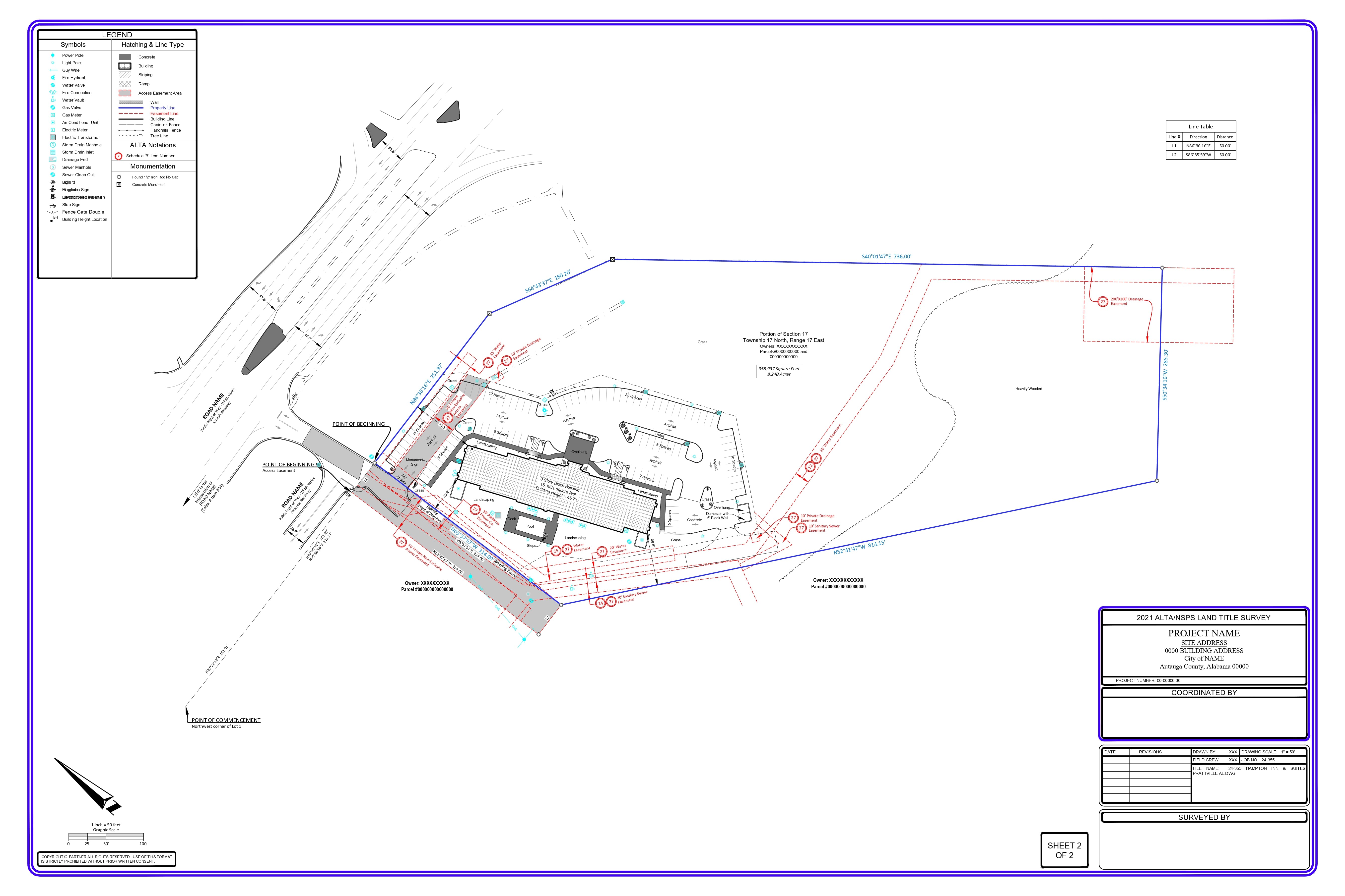


After investing almost 20 years of my career in the development of geospatial technologies and executing LiDAR solutions for a wide range of applications, I’ve seen the many misunderstandings surrounding this ground-breaking technology. And, for some organizations, these myths will keep them from using potentially transformational tools, or make poor decisions about how to implement them. Allow me to address the most stubborn myths through data-driven explainer.
MYTH 1: “LiDAR is too expensive for most projects”
LiDAR is still seen by many as an elite technology that is too costly for all but the biggest companies and government agencies to justify. This perception is more and more outdated.
The Reality:
- Cost of systems has reduced substantially – 32% reduction in last 5 years: Geospatial World Market Survey (2024)
- Contemporary systems offer a broad range of price points to fit different needs and budgets
- Service based models democratized access
Cost Comparison by Implementation Model
| Implementation Approach | Cost Range | Best For | ROI
Timeline |
| Equipment Purchase (Entry Level) | $17,000-$30,000 | Regular small-scale projects | 1-2 years |
| Equipment Purchase
(Professional) |
$50,000-$150,000 | Engineering firms, regular large projects | 2-3 years |
| Equipment Rental | $750-$2,500/day | Occasional specialized needs | Immediate |
| LiDAR as a Service (LaaS) | $1,200-
$5,000/project |
Project-specific requirements | Immediate |
| Mobile/Vehicle Mounted Systems | $75,000-$250,000 | Transportation corridor projects | 2-4 years |
According to a 2023 study by the American Council of Engineering Companies, 68% of mid sized engineering firms saw a positive ROI within 18 months, most commonly achieved by saving on labor costs and decreasing the number of field revisits.
Myth 2: TradiAonal surveying methods are more accurate than LiDAR
This myth lives on, due to early LiDAR systems’ limitations and specifications that haven’t adapted to present capabilities.
The Reality:
- Accuracy is highly dependent on the equipment, methodology and application
- Modern systems can perform with astonishing accuracy within certain settings • Each of the technologies has advantages in terms of accuracy with respect to situations
Accuracy Comparison by Application:
| Application Type | Traditional
Methods |
Modern LiDAR | Key Considerations |
| Structural
monitoring |
±0.7-3mm | ±3-8mm | Traditional methods maintain edge for highest precision |
| Topographic
mapping |
±1-5cm | ±1-3cm | LiDAR often superior due to point density |
| As-built
documentation |
±5-10mm | ±2-6mm | LiDAR’s comprehensive coverage improves overall accuracy |
| Volume calculations | ±3-5% | ±1-2% | LiDAR’s density dramatically improves accuracy |
| Boundary surveys | ±5-10mm | Not
recommended |
Legal requirements often mandate traditional methods |
Recent infrastructure work in Colorado saw terrestrial LiDAR achieving accuracy to 4mm on structure components while covering 300% more surface area than traditional methods over the same timeframe.
Myth 3: “Processing LiDAR data is complex and ?me-consuming”
In fact, for early adopters of LiDAR technology, processing remained an incredibly laborious task, needing to rely on specific experience and uncommon computing power.
- The Reality:
- Workflow processing has been significantly simplified
- Manual intervention needed in software automation has reduced • The processing capabilities have become democratized through cloud-based solutions
- Since 2020, processing times have improved 62% (Huber et al., 2023) Evolution of Processing Requirements:
| Processing Aspect | 2015 | 2020 | 2024 | Key Improvement |
| Classification time
(10GB dataset) |
2-3 days | 8-10 hours | 2-3 hours | AI-driven
automation |
| Hardware
requirements |
Specialized
workstation |
High-end
desktop |
Standard
desktop or cloud |
Algorithm
optimization |
| Personnel expertise | PhD-level
specialist |
Dedicated
technician |
Trained surveyor | Improved UX/UI |
| Automated
classification accuracy |
60-70% | 75-85% | 90-95% | Machine learning advances |
One mid-sized engineering company estimated that, today, automated workflows are addressing 85% of LiDAR processing tasks with no human intervention compared to just 35% five years ago.
Myth 4: “You have to either use LiDAR or tradi?onal methods in your workflow
Lots of organizations want to make technology decisions that are binary, thinking they need to go all in either on traditional or advanced.
The Reality:
- 78% of engineering companies now use hybrid strategies (ACEC, 2023) • Integrated workflows utilize the best of both technologies
- Selection of methodology should be based on project-specific requirement Integrated Workflow Example:
- Designate accurate control framework based on old fashioned GNSS and total station techniques
- Using LiDAR to acquire complete site data
- Get Demands Like Boundaries and legal surveys using traditional methods • Generate topographical and volumetric data from LiDAR
- Cross-check important measurements with conventional instruments • Provide design teams with full and integrated datasets
According to the National Transportation Research Board (2023), projects utilizing integrated workflows had 67% fewer design related change orders and were completed 23% faster, as compared to both traditional only or LiDar only methods.
Myth 5: “LiDAR does not work well in forests or dense vegeta?on”
This idea was born out of the limitations of some of our earliest systems, and persists in this very day, even as significant advancements in technology have occurred.
The Reality:
Vegetation Penetration by LiDAR Type:
| LiDAR Type | Penetration
Capability |
Best Applications | Limitations |
| Terrestrial | Low-moderate (line of sight) | Detailed forest structure | Limited ground coverage in dense understory |
| Mobile/Vehicle | Low-moderate
(horizontal) |
Road corridors with
adjacent vegetation |
Cannot penetrate beyond first few meters |
| Aerial (UAV) | Moderate (depends on density) | Mixed vegetation
mapping |
Limited ground points in very dense canopy |
| Aerial (Fixed-wing) | High (multiple
returns) |
Large-scale forest
mapping |
Reduced point density at ground level |
| Full-waveform
systems |
Very high | Research applications | Processing complexity and cost |
In a 2023 forestry application study, modern aerial LiDAR systems successfully mapped ground elevations with ±10cm accuracy under a mature forest canopy with 85% coverage, capturing approximately 8-12 ground points per square meter.
Myth 6 — “LiDAR data storage is not manageable”
Some organizations have been discouraged from embracing LiDAR due to concerns about the size of the data and storage requirements.
The Reality:
- Data storage expenditure has dropped close to 20% year on year
- Smart data management controls storage footprint
- Cloud-based models provide scalable options compared with on-premise storage • Efficient data structures are increasingly used in processing workflows
Data Management Strategies:
- Tiered storage strategies (active projects on fast machines, archives on cheap storage)
- Methods for optimizing point clouds, reducing file sizes by 35-60% without meaningful information loss
- Selection of resolution appropriate for a particular project instead of maximum density by default
- Decimation and filtering processes for derived products while preserving raw data archives
Despite collecting higher resolution data, LiDAR data management costs now make up less than 3% of their total project budgets, compared to nearly 12% in 2018, a transportation department said.
Myth 7: “LiDAR is only applicable for engineering and surveying uses”
Outside of traditional geospatial professions, many professionals do not yet realize the wide applicability of LiDAR.
The Reality:
- Dozens of industries and use cases leverage LiDAR
- The space can be used wherever spatial awareness is needed
- Multiple its utility with other data sources integration.
Wide-Ranging Uses Outside of Engineering:
- Systems like Biomass calculation, Concentrated selection harvesting, Fuel load analysis in fire (Forestry)
- Urban planning: solar potential mapping, viewshed analysis, green space inventory • Agriculture: Precision farming, drainage optimization, crop height monitoring • Insurance: Assessment of flood risk, verification of building features, validation of claims
- Archaeology: Identification of sites, subtle topographic features and non-invasive investigation
- Architecture: As-built documentation, preservation planning, BIM integration • Emergency management: Evacuation route planning, disaster impact assessment, infrastructure resilience
Reviewed the LiDAR applications up to October 2023, and 18 industry sectors have been identified translating to over 120 distinct commercial applications for the LiDAR technology itself, and new use cases are being developed continuously that applies to LiDAR (International Journal of Remote Sensing 2023).
Conclusion: Looking Forward
LiDAR is shrouded by constant myths that keep organizations from utilizing this powerful imaging tool effectively. With cost always trending down and capability still trending up, the barriers to adoption are often mental, rather than technical or financial.
Advice for professionals exploring LiDAR implementation:
- Make decisions based on your specific project needs, not on mere technologies. • Explore pilot projects to create organization specific ROI measures • For first implementation, consider a service-based model to reduce capital investment
- Train existing staff instead of assuming you need specialized new hires • Workflows that leverage multiple methodologies based on the strengths of each
It is apparent that in terms of geospatial data collection, the future is integrated approaches that combine the best of both traditional and high-technology worlds. Organizations that understand this reality will have competitive advantages from higher efficiency, higher quality outputs, and broader service offerings.
Sources and References:
- American Society for Photogrammetry and Remote Sensing (ASPRS). “LiDAR Guidelines and Base Specification,” Version 2.1, 2023.
- Geospatial World Market Survey. “LiDAR Market Trends and Projections 2024-2030,” 2024. 3. American Council of Engineering Companies (ACEC). “Technology Adoption in Surveying and Geospatial Services,” Industry Report, 2023.
- National Transportation Research Board. “Design Change Order Reduction Through Advanced Survey Technologies,” Special Report 329, 2023.
- Huber, D., Akinci, B., Tang, P., et al. “The Changing Economics of LiDAR in Civil Engineering Applications,” Civil Engineering Journal, 34(2), 145-159, 2023.
- International Journal of Remote Sensing. “Commercial Applications of LiDAR Technology: A Comprehensive Review,” 44(3), 781-803, 2023.
- Li, Z., Chen, J., & Baltsavias, E. “Integration of LiDAR and Traditional Survey Methods: Best Practices.” International Journal of Geoinformatics, 20(1), 31-42, 2024.
Last modified: September 16, 2026